|
|
|
We have added a range of apps that you may find useful for Geography. Feel free to browse them and find which ones you think you could upload or invest in.

Kahoot
This is one of the most popular apps among teachers and pupils alike. It is used to create interactive quizzes which pupils can play in the class. The students with the quickest and correct answers win. This is a great way of ending a class and recapping learning.
|
Morfo Booth
This is your chance to create a 3D talking head. Choose a famous explorer or someone from another country. Students can voice the words and record them. This can be used to help students explain various ecosystems or cities around the world |

Quizlet
This is a very handy revision tool. Create a variety of revision games using the easy to use app. You can add geography terms and try to match them with the correct answers. You can also add voice memos to these Quizlets - helping with pronunciation and in memorising text from books.
|

|
|
WeeblyThis is a fabulous, easy to use web site design site. It has an education site which is free for teachers and can be used to create websites for the school. for subjects or for pupil projects. It is highly intuitive and very easy to produce a website in minutes!
How can you use it in Geography?
|
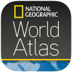
NATIONAL GEO ATLAS
The redesigned World Atlas app from National Geographic is one of the best world geography reference resources available.
The Atlas features Nat Geo's award-winning cartography and stats and facts about every country on Earth.
|
STACK THE COUNTRIES
fun and engaging way for students to learn about continents and countries across the globe.
This covers the key geography concepts including:
|

YOUR WORLD
Your World is the perfect way to learn the countries, capital cities, landmarks of the world; and the states of the USA.
With 483,528 downloads, and counting, Your World has become a hugely popular geography app. |
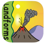
LANDFORMSThis wonderful app contains 17 sections on the below landforms:
Canyons ; Caves ; Continents Deltas ; Gulf; Hills ; Islands Lakes Mountains; Oceans; Peninsulas Plains; Plateaus; Rivers; Valleys Volcanoes; Waterfalls |
QUAKES
Want to see the latest earthquakes?
Download this app to visualize and get notified of earthquakes. Browse the seismograph chart, map, or list to see when and where earthquakes have occurred |
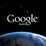
GOOGLE EARTH
This app is so famous that there is little description needed for it. You can now fly your class around the planet with a swipe of your finger Explore distant lands, Search for cities, places and landmarks. Browse layers including roads, borders, places, photos and more. See the world at street level with integrated Street View.
|